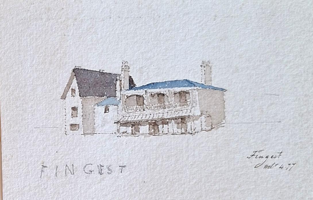
Fingest Oct 4th 1877
Fingest Grove, on Finings Road near Lane End, High Wycombe, sits in an area rich with history, historically straddling ancient parish boundaries (Great Marlow, Hambleden, Fingest, West Wycombe) before Lane End became its own ecclesiastical parish in 1867, a region known for its rural Chilterns setting, now part of Buckinghamshire's landscape, with its core village comprising "Ends" like Moor, Wheeler, Bolter, Cadmore, and Lane. Parish Borders: Lane End, where Fingest Grove is located, was historically a crossroads of several older parishes, making its local history a blend of these larger areas.The distinct identity of Lane End solidified in 1867 with the creation of its own church and parish, separating from its neighbours.
Chilterns Setting: The area is within the Chiltern Hills, an Area of Outstanding Natural Beauty, influencing its character as a collection of attractive villages.
Fingest Grove, on Finings Road near Lane End, High Wycombe, sits in an area rich with history, historically straddling ancient parish boundaries (Great Marlow, Hambleden, Fingest, West Wycombe) before Lane End became its own ecclesiastical parish in 1867, a region known for its rural Chilterns setting, now part of Buckinghamshire's landscape, with its core village comprising "Ends" like Moor, Wheeler, Bolter, Cadmore, and Lane. Parish Borders: Lane End, where Fingest Grove is located, was historically a crossroads of several older parishes, making its local history a blend of these larger areas.The distinct identity of Lane End solidified in 1867 with the creation of its own church and parish, separating from its neighbours.
The area is within the Chiltern Hills, an Area of Outstanding Natural Beauty, influencing its character as a collection of attractive villages.
Buckingham Lane End is a village and civil parish in Buckinghamshire, England. It is just south of the M40 from High Wycombe, about 2 miles (3.2 km) west of Booker. The village is twinned with Saint-Pierre-d'Oléron in France. The village is situated in the Chilterns, around 650 feet (200 m) above sea level, in rolling hills of farmland, beech woods and footpaths.The civil parish includes the hamlets of Cadmore End, Ditchfield, Moor Common and Moor End, and had a population of 3,583 at the 2001 Census. The largest and most popular road in Lane End is Simmons Way.
Lane End was historically on the borders of the parishes of Great Marlow, Hambleden, Fingest and West Wycombe, with a small part (Ackhampstead) belonging to the parish of Lewknor in Oxfordshire until 1895.
In 1867, the ecclesiastical parish of Lane End was formed from the neighbouring parishes. The village continued to be divided among the four neighbouring civil parishes until 1934, when the parts within Great Marlow, Hambleden and West Wycombe civil parishes were transferred to Fingest (renamed Fingest and Lane End in 1937). In the 1980s the parish of Fingest and Lane End was abolished, and the civil parish of Lane End was formed.
In addition to working the land to provide wheat and barley to the breweries in Marlow and Henley, the inhabitants traditionally manufactured chairs or worked in a local iron foundry.
During the Second World War, King Zog of Albania lived at Parmoor House in Frieth, a hamlet a mile south of Lane End, and with many Albanians living in Lane End, used to attend village events.
According to local legend, the village is haunted by the ghost of a girl in a red dress, who died two weeks before her wedding day in 1766.
The main school in Lane End is Lane End Primary School which is situated on three acres of land. It has a total pupil capacity of 210, and teaches 2-11 year olds.
The school is defined as a mixed, community school and has an Ofsted rating of Good.
Lane End Primary School's facilities include a nursery for children ages 2-4; seven classrooms which are equipped for teaching students throughout the years; a refurbished learning cafe, which was opened on 15 May 2017; natural areas including a pond. Lane End Community Centre is situated on the school grounds.
The school is often likened to Haddenham, Buckinghamshire Junior School for their similarities. The oldest church in the village is the Methodist church which started as a congregational church, meeting in a chapel in Marlow Road in 1801. Later this was replaced by a chapel, built in 1835, which is now Lane End Studios. A Wesleyan chapel was built in 1866, but the congregation now meets at the Parish Church.
The parish is served by the church of the Holy Trinity in Ditchfield Common, which was designed by John Oldrid Scott and built in 1878, replacing one built in 1832. The arch brace trusses, purlins and wind braces of the roof are from Marlow's medieval Manor Hall, built c.1200 and demolished in 1878. These were rescued by Thomas Somers-Cocks of Thames Bank, Marlow, who bought the roof timbers and paid for their carriage to Lane End where they fit Scott's nave perfectly.
A Gospel mission hall dating from 1888 at Moor End now meets as the Elim Christian Centre in the centre of the village near the large estate area.
Richard Suter was born in Greenwich, Kent on 30th March 1798, to William Suter and his wife Sarah Knights. On 7th January 1825 he married Anne Ruth Burn.
English architect. As Surveyor to The Fishmongers' Company he designed the severe Presbyterian churches for Ballykelly (1825–7) and Banagher (1825) on the Company's Estate in County Londonderry, drawings of which were exhibited at the Royal Academy in 1827. He was also responsible for the Model Farm (1823–4), the Lancasterian Schools (1828–30), the Company Agent's House (1830–2—now a hotel, much altered), a range of houses on the south side of the main road (1823–4), the lodge in the Presbyterian churchyard (1828), and the Dispensary (1829), all at Ballykelly, and all Classical. As Surveyor to Trinity House Corporation, he designed houses that were erected by Thomas Cubitt in 1821–3 on a site adjoining Trinity House. For The Fishmongers' Company he designed St Peter's Almshouses, Wandsworth, London (1849–51), and The Old School-House, Gresham's School, Holt, Norfolk(1859), in an Elizabethan style.
On the 1841 Census Richard, an architect and lawyer, can be found living in London with his wife Ann (listed as Ruth) and their two children, Richard George and Andrew Burn. Living with them is Edward D Suter. 1851 finds the family living in Tottenham Court in London, by this time Andrew had left the home, but I am unable to trace him on the 1851 Census. In 1860 Andrew marries Amelia Damaris Harrison. Both Richard George and Andrew were to become ordained ministers, with Andrew later becoming a Bishop and emigrating to New Zealand. Sadly in 1854 Anne Ruth was to pass away. In 1861, widowed Richard, Justice of the Peace for Maidenhead, is living at Castle Hill, Maidenhead, Berkshire. In 1862 he married Elizabeth Anne Pocock. In 1871 and 1881 Richard and Elizabeth are still living in Castle Hill. Richard was to pass away on 1st March1883.
Richard Suter & Annesley Voysey, architects, had their office at number 35 Fenchurch Street, but they did not have it all to themselves as they shared the premises with W.C. Franks, a tea broker, who will get a separate post some other time. The earliest mention I found of Richard Suter in Fenchurch Street is in 1832 when he is listed at that address in a list of contributing members of the Society for the Propagation of the Gospel in Foreign Parts. It says that he had been a member since 1829, but that does not mean he was already at 35 Fenchurch Street in that year.(1) In fact, that seems unlikely as the Sun Fire Office records give Messrs. Short and Co., merchants, as paying the insurance premium on the premises in May 1830. The Directory of British Architects 1834-1914 give the year 1827, but I do not know on what evidence. When Suter and Voysey became partners is also uncertain, but they had known each other since at least 1825 as Suter is named as one of the executors of Voysey’s will which was dated 22 July, 1825. The address given for Suter in the will is Suffolk Street, Southwark. Voysey then lives at Conway Street, Fitzroy Square.