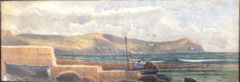
Golden Cap is the name for a high, flat-topped hill of deep orange sandstone on the cliffs between Charmouth and Bridport. It represents the tail end of a vein of the warm-coloured sandstone that stretches down from the Cotswolds. The Cap is the highest point on the south coast, at 627ft (191m), with views along the shore to the tip of Portland Bill in one direction and to Start Point in the other.
Inland, you can see Pilsdon Pen and as far as the heights of Dartmoor.
Rising towards the top, you pass from neat fields, through a line of wind-scoured oak trees, into an area of high heathland, walking up through bracken, heather, bilberry and blackberry, alive with songbirds. The loose undercliff on the seaward side creates a different habitat. In botanical and wildlife terms, Golden Cap is one of the richest properties in the National Trust's portfolio. Today we tend to associate the National Trust with the upkeep of grand houses but, in fact, its first acquisition, way back in 1896, was a stretch of coast in Wales.
On the very top of Golden Cap itself is a simple memorial to the Earl of Antrim, chairman of the Trust in the 1960s and 1970s. It was he who spearheaded its 1965 appeal campaign, named 'Enterprise Neptune', to purchase sections of unspoiled coastline before the developers moved in and it was all too late. Golden Cap was part of this and over the years the Trust has continued to buy up pockets of land all around, with the aim of preserving the traditional field pattern that exists in the area between Eype and Lyme Regis.
Its acquisition includes the ruined church of St Gabriel's (little more than a low shell with a porch to one side) and the neighbouring row of thatched cottages that have been smartly refurbished and are let out as visitor accommodation. They are all that remains of the fishing village of Stanton, sheltering in the valley behind the cliffs, which was largely abandoned after the coast road was rerouted inland in 1824.
Golden Cap is comprised of two ages of rock from the Jurassic and Cretaceous periods. The base of the cliff is dark grey mudrock. The top of the cliff is made of superficially golden coloured sandstone called the Upper Greensand that formed in the Cretaceous Period about
100 million years ago. When fresh it is actually a striking green colour due to the presence of a marine clay mineral called glauconite, but when it is exposed to daylight and weathered glauconite turns a golden colour giving the headland its ‘golden cap'. The gap between these two rock types is called an unconformity and represents a break in the rock record caused by erosion. The very flat top of Golden Cap is actually a remnant of an ancient river terrace that formed after the Cretaceous. The gravely deposit was left behind by a river that was eroding the uplifted older rocks.
Chert form the Upper Greensand can be found in the gravel, which bears testament to this time of erosion. This ancient river terrace can be traced inland forming the flat tops of hills to the north west of Golden Cap.
Golden Cap is part of the National Trust Golden Cap estate.