signed
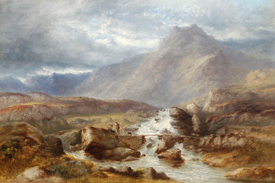
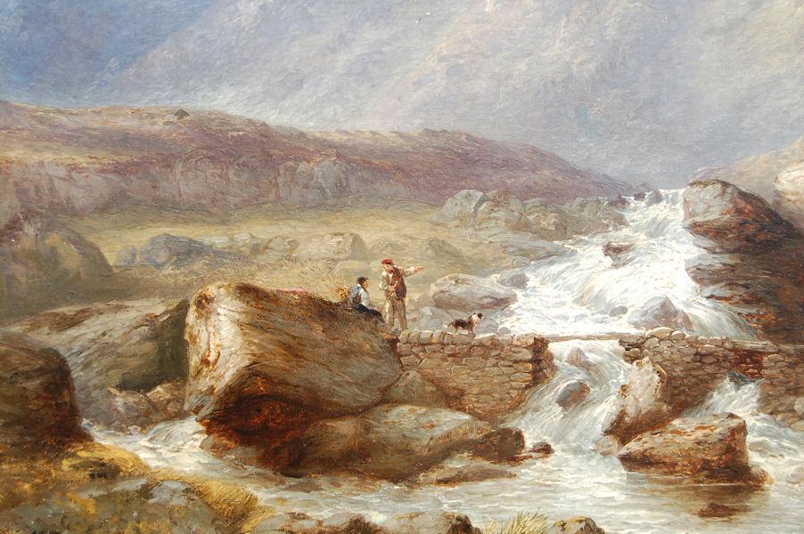
The River Conwy (Welsh: Afon Conwy) is a river in north Wales. From its source to its discharge in Conwy Bay it is a little over 27 miles
(43 km) long. "Conwy" is sometimes Anglicized as "Conway." It rises on the Migneint moor where a number of small streams flow into Llyn Conwy, then flows in a generally northern direction, being joined by the tributaries of the rivers Machno and Lledr before reaching Betws-y-Coed, where it is also joined by the River Llugwy. From Betws-y-coed the river continues to flow north through Llanrwst, Trefriw (where it is joined by the Afon Crafnant) and Dolgarrog (where it is joined by Afon Porth-llwyd and Afon Ddu) before reaching Conwy Bay at Conwy. During spring tides the river is tidal as far as Llanrwst.
The Conwy is bounded to the east by the rolling ancient mudstone hills of the Silurian period, the Migneint Moors. These acid rocks are generally covered in thin, often acid soils and for large parts of the upland areas the cover is of moor-grass — Mollinia spp and Erica communities. As a result the water entering the river tends to be acidic and often coloured brown with humic acids To the west, the catchment is underlain by older Cambrian rocks which are harder and the landscape is, as a consequence, more dramatic with high craggy hills and mountains through which the river falls in cascades and waterfalls. Excellent examples of torrential river geomorphology can be seen at Conwy Falls and in the Lledr Gorge. The land to the East is highly forested with planted non-native conifers.
The western side of the valley is rich in lakes and reservoirs some of which provide drinking water supplies. The rocks are also rich in minerals and there are many abandoned mine sites where copper, lead and silver have been mined since Roman times.
The central river valley down-stream of Betws-y-Coed is relatively wide and fertile, and supports dairying and sheep rearing. In winter time these pastures are used to nurture the sheep brought down out of the mountains to avoid the worst of the winter weather.
The English name for the area derives from Snowdon, which is the highest mountain in Wales at 3,560 ft (1,085 m). In Welsh, the area is named Eryri. One assumption is that the name is derived from eryr ("eagle"), but others state that it means quite simply Highlands, as leading Welsh scholar Sir Ifor Williams proved. In the Middle Ages the title Prince of Wales and Lord of Snowdonia (Tywysog Cymru ac Arglwydd Eryri) was used by Llywelyn ap Gruffudd; his grandfather Llywelyn Fawr used the title Prince of north Wales and Lord of Snowdonia.
Prior to the designation of the boundaries of the National Park, the term "Snowdonia" was generally used to refer to a much smaller area, namely the upland area of northern Gwynedd centred on the Snowdon massif, whereas the national park covers an area more than twice that size extending far to the south into Meirionnydd. This is apparent in books published prior to 1951 such as the classic travelogue Wild Wales by George Borrow (1862) and The Mountains of Snowdonia by H.
Carr & G. Lister (1925). F. J. North, as editor of the book Snowdonia (1949), states "When the Committee delineated provisional boundaries, they included areas some distance beyond Snowdonia proper." The traditional Snowdonia thus includes the ranges of Snowdon and its satellites, the Glyderau, the Carneddau and the Moel Siabod group. It does not include the hills to the south of Maentwrog. As Eryri (see above), this area has a unique place in Welsh history, tradition and culture.